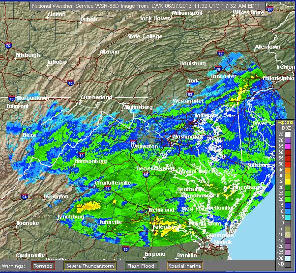
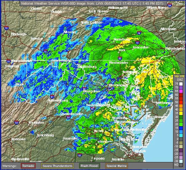
| With Tropical Storm Andrea battering the east coast, Maryland is expecting to receive heavy rains and an increase potential for flooding over the next 24-48 hours.
Excessive run off from heavy rainfall, starting Friday and lasting well into Friday night, have potential to cause flash flooding in the region. Flooding is likely to occur in low-lying areas, and areas near bodies of water. Baltimore and Carroll Counties are under a Flash Flood Watch at this time. Rainfall is expected to be 2-4 inches, with up to 6 inches in isolated areas.
Drivers are reminded to NEVER attempt to drive through standing water, no matter the experience of the driver or the type of vehicle. Water may be deeper than it appears, and vehicle can become rendered useless. This could potentially lead to the vehicle being swept away, and causes the possibility of injury to drivers and rescuers alike. Also, the fire department will make every reasonable attempt to assist you with a flooded basement, but we cannot guarantee that our equipment will be available or suitable, as demand will increase during the storms.
Additional tips regarding safety during flash flooding situations are available here, courtesy of WBAL http://on.wbaltv.com/13LpLV3
You can follow the forecast and updates at http://forecast.weather.gov/MapClick.php?lat=39.5636178399717&lon=-76.83631896972656#.UbHHBZVqmqA |